
Country United States GNIS feature ID 0453477 Area 62.5 km² Population 1,089 (2010) | ZIP codes 46711, 46740, 47326 Elevation 262 m Local time Friday 2:09 PM | |
 | ||
Weather 1°C, Wind NW at 29 km/h, 41% Humidity | ||
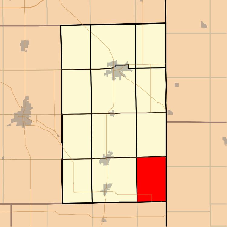
Jefferson Township is one of twelve townships in Adams County, Indiana, United States. As of the 2010 census, its population was 1,089.
Contents
- Map of Jefferson Township IN USA
- Geography
- Major highways
- Cemeteries
- School districts
- Political districts
- References
Map of Jefferson Township, IN, USA
Geography
According to the 2010 census, the township has a total area of 24.13 square miles (62.5 km2), of which 24.1 square miles (62 km2) (or 99.88%) is land and 0.03 square miles (0.078 km2) (or 0.12%) is water.
Major highways
Cemeteries
The township contains the following cemeteries: Loofborrow, Rumple (also known as Cook- no longer exists), and St. Mary Catholic.
School districts
Political districts
References
Jefferson Township, Adams County, Indiana Wikipedia(Text) CC BY-SA