
Country United States Elevation 393 m Local time Friday 1:14 PM | GNIS feature ID 0476710 Area 125.5 km² Population 1,651 (2000) | |
 | ||
Weather 5°C, Wind NE at 14 km/h, 27% Humidity | ||
Jefferson Township is a township in Geary County, Kansas, USA. As of the 2000 census, its population was 1,651.
Contents
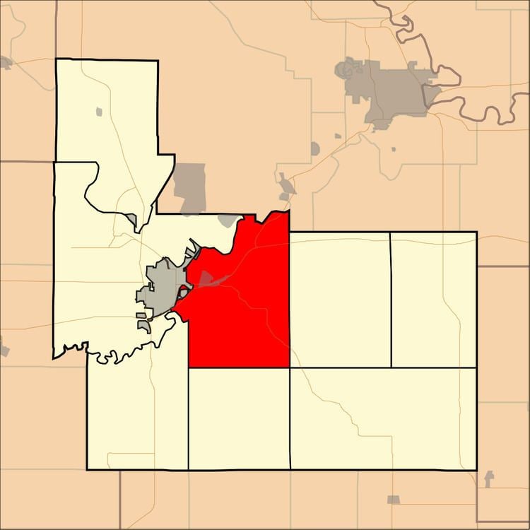
Map of Jefferson, KS, USA
History
Jefferson Township was established in 1878. It was named for Thomas Jefferson.
Geography
Jefferson Township covers an area of 48.44 square miles (125.5 km2) and contains one incorporated settlement, Grandview Plaza. According to the USGS, it contains two cemeteries: Fairview and Rosey.
Whiskey Lake is within this township. The streams of Clarks Creek, Davis Creek, Dry Creek, Franks Creek and Humboldt Creek run through this township.
Transportation
Jefferson Township contains one airport or landing strip, Marshall Airfield.
References
Jefferson Township, Geary County, Kansas Wikipedia(Text) CC BY-SA