
ZIP codes 50655, 50662, 50671 Elevation 337 m Local time Friday 1:13 PM | Time zone CST (UTC-6) GNIS feature ID 0468134 Area 94.42 km² Population 6,910 (2010) | |
 | ||
Weather -4°C, Wind N at 23 km/h, 29% Humidity | ||
Jefferson Township is one of twenty townships in Fayette County, Iowa, USA. As of the 2010 census, its population was 6,910.
Contents
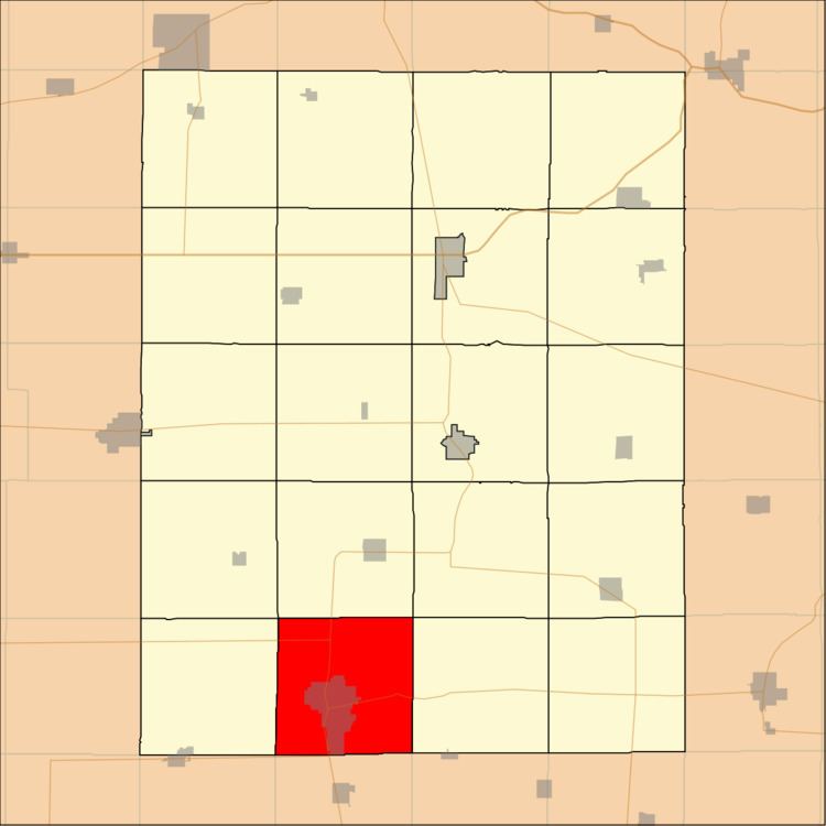
- Map of Jefferson IA USA
- Geography
- Cities towns villages
- Adjacent townships
- Cemeteries
- Major highways
- Airports and landing strips
- Landmarks
- School districts
- Political districts
- References
Map of Jefferson, IA, USA
Geography
According to the United States Census Bureau, Jefferson Township covers an area of 36.46 square miles (94.42 square kilometers); of this, 36.37 square miles (94.2 square kilometers, 99.77 percent) is land and 0.09 square miles (0.22 square kilometers, 0.23 percent) is water.
Cities, towns, villages
Adjacent townships
Cemeteries
The township contains these three cemeteries: Oakdale, Otsego and Woodlawn.
Major highways
Airports and landing strips
Landmarks
School districts
Political districts
References
Jefferson Township, Fayette County, Iowa Wikipedia(Text) CC BY-SA