
Country United States City St. Louis Website stlouis-mo.gov Population 5,557 (2010) | Wards 3, 5, 6, 19 Area 3.237 km² Area code 314 | |
 | ||
ZIP code(s) Parts of 63106, 63107, 63113 Restaurants Bing Lau Chop Suey, Bikers Corner, IP54 Bar & Grill, You Gotta Eat Here!, Popeyes Louisiana Kitchen | ||
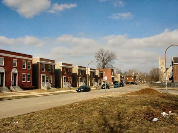
JeffVanderLou (JVL) is a neighborhood of St. Louis, Missouri. The neighborhood is situated between North Vandeventer Avenue on the northwest, Natural Bridge avenue on the northeast, North Jefferson Avenue on the East, Delmar Boulevard on the south, and North Compton Avenue and Martin Luther King Drive on the Southwest.
Contents
Map of Jeff-Vander-Lou, St. Louis, MO, USA
In a time of racial segregation following the end of slavery, JeffVanderLou was originally designated as the city's "Negro District" and was one of the only places where African Americans were allowed to own land.
It is also where Sportsman's Park (later known as Busch Stadium I) stood from 1902 until 1966.
Demographics
In 2010 JeffVanderlou's racial makeup was 97.2% Black, 1.3% White, 0.1% Native American, 1.2% Two or More Races, and 0.1% Some Other Race. 0.6% of the population was of Hispanic or Latino origin.