
 | ||
Weather 28°C, Wind SW at 8 km/h, 62% Humidity | ||
Jeddah seaport film
Jeddah Islamic port has an excellent location in the middle of the international shipping route between east and west.
Contents
Jeddah seaport adil
Overview
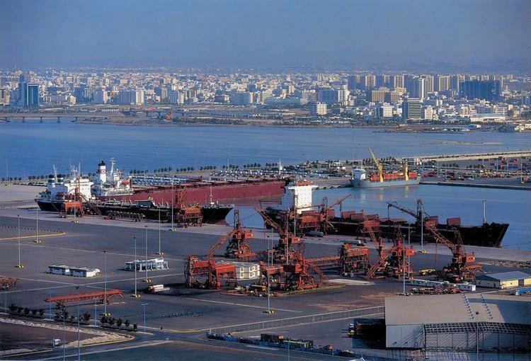
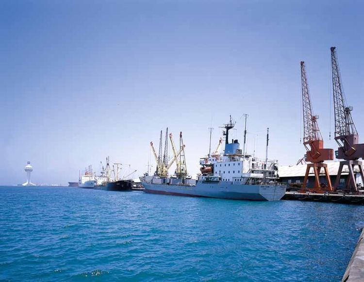
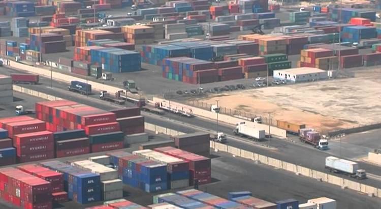
The port lies on the Red Sea coast at latitude 21° 28' north and longitude 39° 10' east. It is the Saudi's principal port serving the holy cities of Mecca and Medina. The port serves the commercial centers through which 59% of the Saudi's imports by sea are being handled. The importance of Jeddah Port increased and reached its maximum limit when Saudi Arabia was developing into a modern country.
The Port was established in September 1976, whereupon it started developing its facilities. The port has expanded from a modest 10 operational berths in 1976 to the 58 berths of international standard in service today.
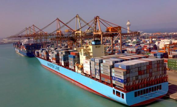
Jeddah Islamic Port is a congestion free harbor. It occupies an area of 10.5 square kilometers and its deep water quays provide an overall berthing length of 11.2 kilometers with a maximum draft of 16 metres.
The port can accommodate the latest generation of large container vessels with a capacity of 6500 TEUs.
647 A.D.
1968
In "Red Sea Journey," published in the book Caravan of Dreams, Idries Shah wrote, "Gleaming whitely, coral-built beyond those treacherous reefs through which ships cannot pass to her quayside, Jeddah beckoned... we got into small boats and were ferried to the jetties..."
2008
Nearby wrecks
Along the coastline of the Red Sea runs a parallel stretch of coral reefs. Jeddah is one of the few places where a gap in the reefs allows large vessels to approach the coastline directly. Nevertheless, the reefs have proven fatal to many ships through the ages.
Two Italian Destroyers are reported to have run aground near Jedda in 1941.
From the sixties it is reported that two ships had run aground to the north and to the south of the entrance to the port: thus marking the safe shipping lane between them.
As of 2007 at least three large ships have been reported lying south of Jeddah. At 20°52′02.87″N 39°21′39.77″E lies the "Saudi Golden Arrow", ex-Norwegian Ferry "M/S Europafergen" reported laid up at Shoieba.
Also since about 2000 the "Al Basmalah I" built as "Glen Sannox" in 1957 and the "Al-Fahad", ex "Free Enterprise III", that anchored after engine problems in 2004 and has since reported to have become semisubmerged.
Some 14.6 kilometers southwest of the old city center at 21°22′35.67″N 39°07′13.51″E, approximately 1.74 kilometers from the coast, a half submerged wreck can be viewed on Google Earth.