
Province Papua | ||
 | ||
Similar Puncak Jaya, Puncak Trikora, Puncak Mandala, Baliem Valley, Mount Kerinci | ||
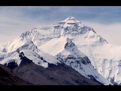
Jayawijaya mountains papua indonesia best travel destination
The Jayawijaya Mountains, formerly known as the Orange Range, are the eastern mountain range of the Maoke Mountains in the central highlands region of the Indonesian part of New Guinea. The range extends for 230 miles east of the Sudirman Range to the Star Mountains. Its highest point is Puncak Mandala at 4,760 metres (15,617 ft). The Baliem River has its source in the range.
Contents
- Jayawijaya mountains papua indonesia best travel destination
- Map of Jayawijaya Mountains Soline Soloikma Yahukimo regency Papua Indonesia
- Jayawijaya mountains
- References
Map of Jayawijaya Mountains, Soline, Soloikma, Yahukimo regency, Papua, Indonesia
Inhabitants of the range include the Ketengban.
In 1997 sightings of animals matching the description of the thylacine, an extinct Australian marsupial were reported from "the Jayawijaya region of Irian Jaya".
Jayawijaya mountains
References
Jayawijaya Mountains Wikipedia(Text) CC BY-SA