
Gmina Jawor (urban gmina) Postal code 59-400 Area 18.8 km² Local time Friday 8:29 AM | County Jawor County Time zone CET (UTC+1) Car plates DJA Population 24,347 (2006) | |
 | ||
Weather 4°C, Wind NW at 14 km/h, 95% Humidity Points of interest Peace Church in Jawor, Muzeum Regionalne w Jaworze, Jawor Castle, Church of Saint Martin | ||
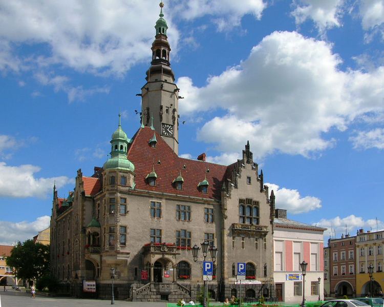
Jawor [ˈjavɔr] (German: Jauer) is a town in south-western Poland with 24,347 inhabitants (2006). It is situated in Lower Silesian Voivodeship (from 1975–1998 it was in the former Legnica Voivodeship). It is the seat of Jawor County, and lies approximately 61 kilometres (38 mi) west of the regional capital Wrocław.
Contents
Map of Jawor, Poland
In the town can be found a Protestant Church of Peace. It was named a UNESCO World Heritage Site in 2001. Jawor Castle lies in Jawor.
The name Jawor is Polish for "sycamore". Prior to 1945, the town was part of Poland, Bohemia, Austria, Prussia and Germany. After World War II the region was placed under Polish administration by the Potsdam Agreement under territorial changes demanded by the Soviet Union. Most Germans fled or were expelled and were replaced with Poles expelled from the Polish areas annexed by the Soviet Union.