
Official name Ir. H. Djuanda Dam Opening date 1965 Opened 1965 Construction began 1957 | Country Indonesia Status Operational Type of dam Embankment, earth-fill | |
 | ||
Similar Saguling Dam, Citarum River, Jatigede Dam, Cisomang Bridge, Stasiun Ciganea | ||
Jatiluhur dam indonesia fast flowing water tapped for hydro electricity don t fall in
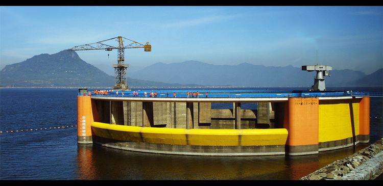
The Jatiluhur Dam is a multi-purpose embankment dam on the Citarum River in West Java, Indonesia. It is located 70 km (43 mi) east of Jakarta, close to the medium-size town of Purwakarta.
Contents
- Jatiluhur dam indonesia fast flowing water tapped for hydro electricity don t fall in
- Map of Jatiluhur Dam Kutamanah Sukasari Purwakarta Regency West Java Indonesia
- Jatiluhur dam
- References
Map of Jatiluhur Dam, Kutamanah, Sukasari, Purwakarta Regency, West Java, Indonesia
Jatiluhur Dam was designed by Coyne et Bellier and was constructed between 1957 and 1965 while the power station become operational in 1967. The dam serves several purposes including the provision of hydroelectric power generation, water supply, flood control, irrigation and aquaculture. The power station has an installed capacity of 186.5 MW which feeds into the Java grid managed by the state-owned electricity company Perusahaan Listrik Negara. The Jatiluhur reservoir helps irrigate 240,000 ha (593,053 acres) of rice fields. The earth-fill dam is 105 m (344 ft) high and withholds a reservoir of 3,000,000,000 m3 (2,432,140 acre·ft), the largest in the country.