
PIN 472118 Elevation 246 m Local time Friday 9:46 AM | Time zone IST (UTC+5:30) Telephone code 07681 Population 15,593 (2011) Area code 07681 | |
 | ||
Weather 22°C, Wind NE at 14 km/h, 55% Humidity | ||
Jatara is a town and a nagar panchayat in Tikamgarh district in the Indian state of Madhya Pradesh.
Contents
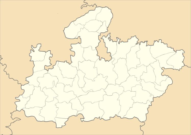
Map of Jatara, Madhya Pradesh
Geography
Jatara is located at 25.02°N 79.05°E / 25.02; 79.05. It has an average elevation of 246 metres (807 feet).it is situated near khajuraho and orchha, the very popular tourist destination.uttar pradesh is very near to Jatara.mauranipur (Uttar Pradesh) is 25 km away from Jatara.
Demographics
As of 2001 India census, Jatara had a population of 15,593. Males constitute 52% of the population and females 48%. Jatara has an average literacy rate of 57%, lower than the national average of 59.5%: male literacy is 65%, and female literacy is 47%. In Jatara, 18% of the population is under 6 years of age.
References
Jatara Wikipedia(Text) CC BY-SA