
District Aurangabad Elevation 514 m Population 2,442 (2001) | Time zone IST (UTC+5:30) Local time Friday 6:56 AM | |
 | ||
Weather 19°C, Wind W at 13 km/h, 56% Humidity | ||
Jarul is a small village and a gram panchayat in Vaijapur taluka of Aurangabad district in the Indian state of Maharashtra.
Contents
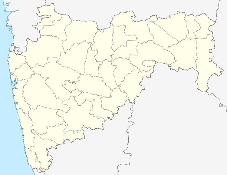
Map of Jarul, Maharashtra
Geography
Jarul is located at Latitude = 19°58'0"N and Longitude = 74°44'49"E 19.58°N 74.44°E / 19.58; 74.44. It has an average elevation of 514 metres (1686 feet) from the mean sea level at Karachi.
Nearby railway station is Rotegaon railway station, on South Central Railway system of Indian Railways.
It also has a small scale irrigation project (dam) on Sārangi river.
Demographics
Households: 443; Total: 2442; Male: 1242; Female: 1200.
Total: 1340 (54.87%); Male: 840 (67.63%); Female: 500 (41.67%).
References
Jarul Wikipedia(Text) CC BY-SA