Established 1932 Founded 1932 Local time Friday 9:10 AM | Postcode(s) 6275 Elevation 131 m Postal code 6275 | |
 | ||
Weather 18°C, Wind SE at 24 km/h, 61% Humidity | ||
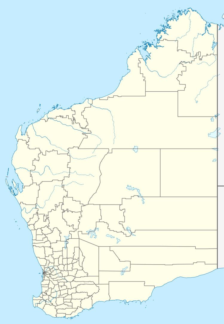
Jarrahwood is a small town located in the South West region of Western Australia, along the Vasse Highway between the towns of Busselton and Nannup.
Map of Jarrahwood WA 6275, Australia
The town is named for the Jarrah Wood and Saw Mills Company which operated in the area and operated a private railway from the district to Wonnerup, which was purchased by the Government in 1906. The town was gazetted in 1932.
References
Jarrahwood, Western Australia Wikipedia(Text) CC BY-SA
