
Car plates PJA | Area 587.7 km² | |
 | ||
Gminas Total 4Gmina JaraczewoGmina JarocinGmina KotlinGmina Żerków Points of interest Pomnik glana, Muzeum Adama Mickiewic, Spichlerz Polskiego Rocka, Muzeum Wojen Napoleońskich, Szwajcaria Żerkowska ‑ punkt wi | ||
Jarocin County (Polish: powiat jarociński) is a unit of territorial administration and local government (powiat) in Greater Poland Voivodeship, west-central Poland. It came into being on January 1, 1999, as a result of the Polish local government reforms passed in 1998. Its administrative seat and largest town is Jarocin, which lies 63 kilometres (39 mi) south-east of the regional capital Poznań. The only other town in the county is Żerków, lying 12 km (7 mi) north of Jarocin.
Contents
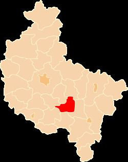
Map of Jarocin County, Poland
The county covers an area of 587.7 square kilometres (226.9 sq mi). As of 2006 its total population is 70,390, out of which the population of Jarocin is 25,834, that of Żerków is 2,058, and the rural population is 42,498.
Neighbouring counties
Jarocin County is bordered by Środa Wielkopolska County and Września County to the north, Pleszew County to the east, Krotoszyn County to the south, and Gostyń County and Śrem County to the west.
Administrative division
The county is subdivided into four gminas (two urban-rural and two rural). These are listed in the following table, in descending order of population.