
Length 18.4 km | Major cities Kawasaki | |
 | ||
North end: National Route 246 at Setagaya, Tokyo South end: Shuto Expressway at Hodogaya-ku, Yokohama Highway system National highways of Japan | ||
National Route 466 (国道466号) is a national highway in Japan connecting Setagaya, Tokyo and Hodogaya-ku, Yokohama, with a total length of 18.4 km (11.4 mi).
Contents
Map of Japan, T%C5%8Dky%C5%8D-to, Setagaya-ku, %E5%9B%BD%E9%81%93466%E5%8F%B7%E7%B7%9A
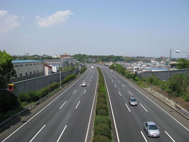
A major part of the road is known as the Daisan Keihin Road (第三京浜道路, Daisan Keihin Dōro), a toll road connecting Tokyo and Yokohama, managed by East Nippon Expressway Company.
Tolls
In short, the tolls average 50 or 100 yen per exit. The entire toll section is ¥390 for cars.
References
Japan National Route 466 Wikipedia(Text) CC BY-SA