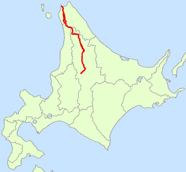
Kalpana Kalpana (Editor)

Japan National Route 40

Updated on
Edit
Like
Comment
Share on FacebookTweet on TwitterShare on LinkedInShare on Reddit
Length
  
243 km

Major cities
  
Nayoro, Shibetsu, Teshio

Japan National Route 40

Highway system
  
National highways of Japan

National Route 40 is a national highway connecting Asahikawa and Wakkanai in Hokkaidō, Japan.

Contents

Map of Japan, Hokkaid%C5%8D, %E5%9B%BD%E9%81%9340%E5%8F%B7%E7%B7%9A

Route Data

  • Length: 243.0 km (151.0 mi)
  • Origin: Asahikawa, Hokkaidō (originates at the terminus of 12 and the origin of 39)
  • Terminus: Wakkanai, Hokkaidō (ends at Wakkanai Station)
  • History

  • 1952-12-04 - First Class National Highway 40 (from Asahikawa to Wakkanai)
  • 1965-04-01 - General National Highway 40 (from Asahikawa to Wakkanai)
  • Overlapping sections

  • From Shibetsu (Odori East-6 intersection) to Nayoro (West-4 North-1 intersection): Route 239
  • From Bifuka (Odori Kita-3 intersection) to Otoineppu: Route 275
  • From Teshio to the terminus: Route 232
  • References

    Japan National Route 40 Wikipedia