
Country Pakistan Tribal Area Khyber Agency Local time Sunday 8:59 AM | Region Khyber Pakhtunkhwa Elevation 461 m | |
 | ||
Weather 19°C, Wind SW at 8 km/h, 35% Humidity Points of interest Jamrud Fort, Gate Way to Khyber Pass, Hari Singh Nalwa Grave | ||
Jamrud (Pashto: جمرود, Urdu: جمرود), is a town located in the Khyber Agency, within Khyber Pakhtunkhwa, Pakistan. The town is the doorway to the Khyber pass, part of the Hindu Kush range. The town has road and rail linkages with Peshawar city of Pakistan, and a pass connects it with Landi Kotal, located near the borders of Afghanistan.
Contents
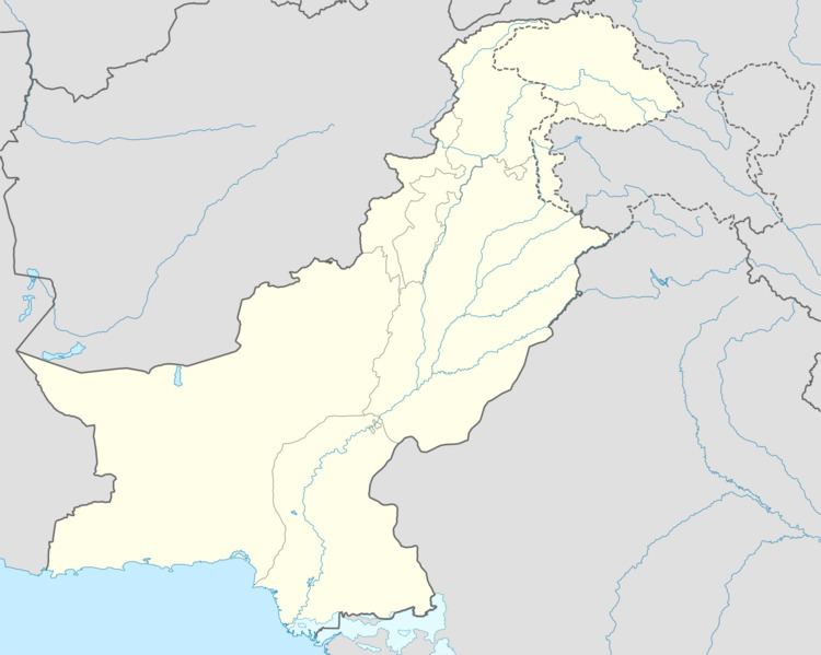
Map of Jamrud, Pakistan
Jamrud, lying in proximity to the Khyber pass, has remained a location on the trade route between central Asia and the South Asia and a strategic military location. Jamrud is located at an altitude of 1512 ft (461 metres) above sea level and is 10.2 miles (17 km) west from the city of Peshawar. Jamrud Fort is located at 33.969N,71.338E.
History
The Battle of Jamrud between the Sikh Empire and Durrani Empire took place at Jamrud. Jamrud was a strategic location and served as a base for a cantonment of the British Indian Army during the period of the British Raj. During the military operations of 1878-79 Jamrud became a place of considerable importance as the frontier outpost on British territory towards Afghanistan, and it was also the base of operations for a portion of the Tirah campaign in 1897-1898. It was also the headquarters of the Khyber Rifles, and the collecting station for the Khyber tolls. The population in 1901 was 1,848.The place continues to be of strategic significance.