
Country State | Languages spoken Gujarati, Hindi District | |
 | ||
Map of Jambusar
Jambusar is a city and a municipality in Bharuch district in the Indian state of Gujarat.
Contents
- Map of Jambusar
- Bharuch jambusar road bypass dhaba day time
- Pratapnagar jambusar pratapnagar ng
- Geography
- Demographics
- Origin of name
- Places To Visit
- References
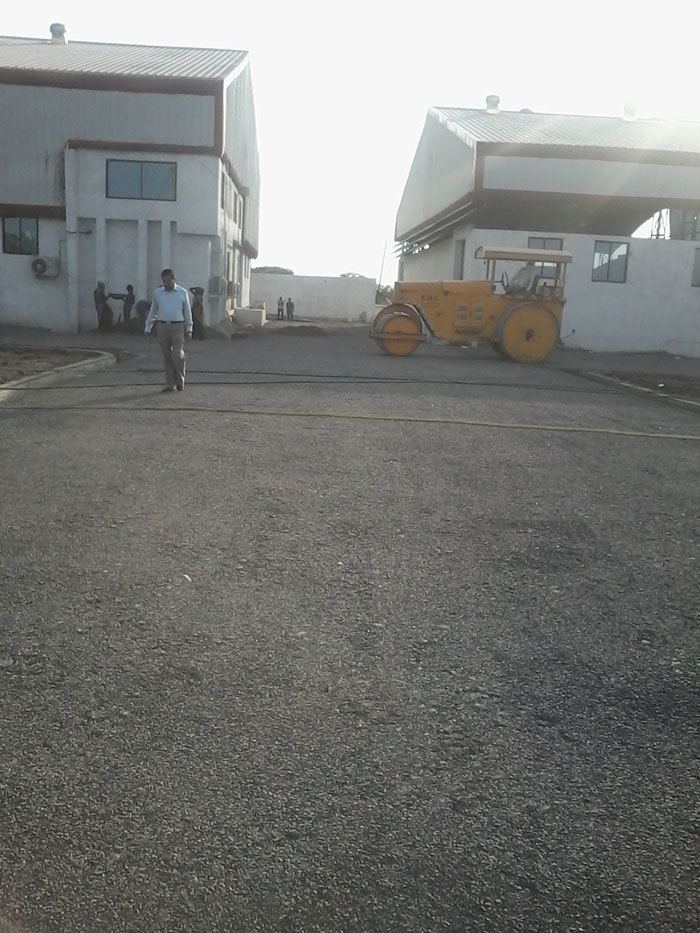
Bharuch jambusar road bypass dhaba day time
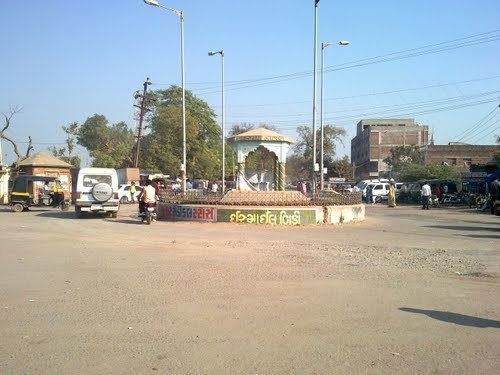
Pratapnagar jambusar pratapnagar ng
Geography
Jambusar has an average elevation of 4 metres (13 feet).
Demographics
The Jambusar Municipality has population of 43,344 of which 22,474 are males while 20,870 are females as per report released by Census India 2011.
Population of Children with age of 0-6 is 5155 which is 11.89% of total population of Jambusar (M). In Jambusar Municipality, Female Sex Ratio is of 929 against state average of 919. Moreover, Child Sex Ratio in Jambusar is around 936 compared to Gujarat state average of 890. Literacy rate of Jambusar city is 82.36% higher than state average of 78.03%. In Jambusar, Male literacy is around 88.90% while female literacy rate is 75.31%.
Origin of name
According to Legend, many centuries ago, a Brahmin tribe lived at this spot. The name Jambusar is derived from their surname JAMBU + SAR (which means Lake or Pool in Sanskrit). There is a lake named "NAGESHWAR TALAV" in the city centre.