
Time zone BST (UTC+6) Area 338.7 km² | Postal code 3000 Local time Sunday 12:49 AM | |
 | ||
Weather 19°C, Wind E at 8 km/h, 88% Humidity | ||
Jamalganj (Bengali: জামালগঞ্জ) is an Upazila of Sunamganj District in the Division of Sylhet, Bangladesh.
Contents
Map of Jamalganj, Bangladesh
Geography
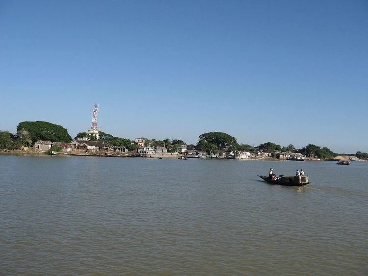
Jamalganj is located at 24.9833°N 91.2333°E / 24.9833; 91.2333 . It has 18119 households and total area 338.74 km².Jamalganj Upazila (sunamganj district) with an area of 338.74 km2, is bounded by Tahirpur and bishwamvarpur upazilas on the north, khaliajuri and derai upazilas on the south, sunamganj sadar upazila on the east, mohanganj and dharmapasha upazilas on the west. Main rivers are Nawa Gang, Baulai and Dhanu; Pakna Haor and Hail Haor are also notable. Patilachura, Pangna, Lamba, Baska, Chhatidhara and Kachma beels are noted.
Demographics
As of the 1991 Bangladesh census, Jamalganj has a population of 107,771. Males constitute 51.75% of the population, and females 48.25%. This Upazila's eighteen up population is 53158. Jamalganj has an average literacy rate of 20.1% (7+ years), and the national average of 32.4% literate.
Administration
Jamalganj thana was established in 1940 and was turned into an upazila in 1984.Jamalganj has 5 Unions/Wards, 99 Mauzas/Mahallas, and 165 villages.Jamalganj (Town) consists of 3 mouzas. It has an area of 11.58 km2. The town has a population of 14968; male 53.12%, female 46.88%; density of population is 1292 per km2. Literacy rate among the town people is 26.7%.Population 107771; male 51.75%, female 48.25%; Muslim 78.92%, Hindu 21.00%, Buddhist, Christian and others 0.08%.