Time zone IST (UTC+5:30) Elevation 646 m Local time Saturday 10:34 PM | Taluka Jalkot PIN 413532 Literacy 67% Area code +02471 | |
 | ||
Weather 27°C, Wind W at 6 km/h, 36% Humidity | ||
Jalkot is a village and headquarters for Jalkot Taluka in Latur Division of Latur District in the Indian state of Maharashtra.
Contents
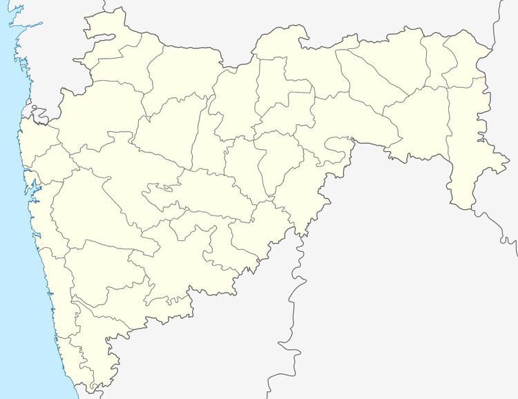
Map of Jalkot, Maharashtra 413532
The place is famous for its Mahadeo Temple. Place is surrounded by 3 mountains of Balaghat ranges, in winter place looks like a heaven. It is also famous for sunset. The government offices in the town are the telephone exchange, MSEB office, the police station, tehsil office (panchayat samiti), a good number of schools and colleges.
History
During the 1947 "Hyderabad Police Action" there was a brief battle outside of Jalkot where a Hyderabad Army artillery field piece was captured.
Demographics
In the 2001 Indian census, the village of Jalkot had 7,912 inhabitants, with 4,097 males (51.8%) and 3,815 females (48.2%), for a ratio of 931 females per 1000 males.
Education
Various schools are:
Temples
Beautiful Balaji Temple is the new attraction of the town. Devotee's around the town are rushing to the place for God Tirupati darshan and they have great faith in god. Balaji idols are pretty much attractive. Vithoba & Rukhmini Temple
