
Elevation 184 m Population 5,448 (2001) | Time zone IST (UTC+5:30) Local time Saturday 10:24 PM | |
 | ||
Weather 27°C, Wind N at 14 km/h, 59% Humidity University Dr. Balasaheb Sawant Konkan Krishi Vidyapeeth | ||
Jalgaon is a census town in Ratnagiri district in the Indian state of Maharashtra.
Contents
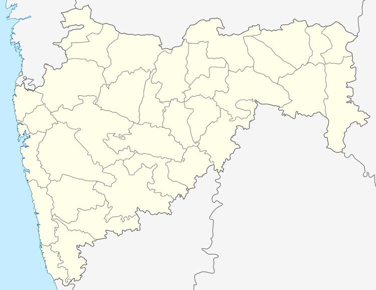
Map of Jalgaon, Maharashtra 415712
Geography
Jalgaon is located at 17.75°N 73.18°E / 17.75; 73.18. It has an average elevation of 184 metres (603 feet).
Demographics
As of 2001 India census, Jalgaon had a population of 5448. Males constitute 51% of the population and females 49%. Jalgaon has an average literacy rate of 80%, higher than the national average of 59.5%: male literacy is 85%, and female literacy is 74%. In Jalgaon, 11% of the population is under 6 years of age.
References
Jalgaon, Ratnagiri Wikipedia(Text) CC BY-SA