
Charter 1867 Time zone EET (UTC+2) Population 7,834 (30 Jun 2015) Region Southern Ostrobothnia | Consolidated 2016 Website www.jalasjarvi.fi Local time Saturday 6:41 PM | |
 | ||
Weather 2°C, Wind NW at 6 km/h, 59% Humidity | ||
Jalasjärvi is a former municipality of Finland. It was merged to the town of Kurikka on 1 January 2016.
Contents
Map of 61600 Jalasj%C3%A4rvi, Finland
It is located in the province of Western Finland and is part of the Southern Ostrobothnia region. The population of Jalasjärvi was 7,834 (30 June 2015) and covered a land area of 818.70 km2 (316.10 sq mi). The population density was 9.5688/km2 (24.7832/sq mi).
The municipality was unilingually Finnish.
Villages
Alavalli, Hirvijärvi, Ilvesjoki, Jalasjärvi, Jokipii, Keskikylä, Koskue, Luopajärvi, Sikakylä, Taivalmaa and Ylivalli.
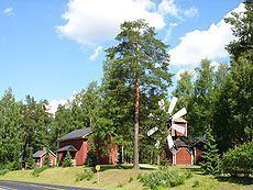
Sights
References
Jalasjärvi Wikipedia(Text) CC BY-SA