
Time zone EST (UTC-5) Area 882 km² Population 87,771 (2007) | Founded 1762 Area code(s) +53-52 Elevation 135 m Local time Saturday 7:03 AM | |
 | ||
Weather 15°C, Wind NE at 6 km/h, 79% Humidity | ||
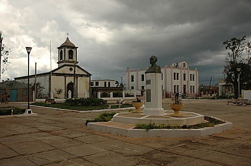
Jaguey Grande, simply known as Jagüey ([xaˈɣwej]), is a town and municipality in the Matanzas Province of Cuba. It is located east of the Zapata Peninsula, north of the Bahia de Cochinos, along the A1 motorway in the center of the province.
Contents
Map of Jaguey Grande, Cuba
Geography
The municipality was historically divided into the barrios of Pueblo (town's centre), Gallardo, López, Murga Sinú and Rovira. Nowadays it counts the town itself and the popular councils (consejos populares, i.e. villages) of Agramonte, Australia, San José de Marcos and Torriente. Agramonte, the most populated village, was an autonomous municipality until the 1976 reform.
Demographics
In 2007, the municipality of Jagüey Grande had a population of 87,771. With a total area of 882 km2 (341 sq mi), it has a population density of 65.5/km2 (170/sq mi).