
Country United States ZIP code 29446 Elevation 7 m Population 478 (2010) | Time zone Eastern (EST) (UTC-5) Area code(s) 843 Area 37.46 km² Local time Friday 11:17 PM | |
 | ||
Weather 10°C, Wind S at 10 km/h, 68% Humidity | ||
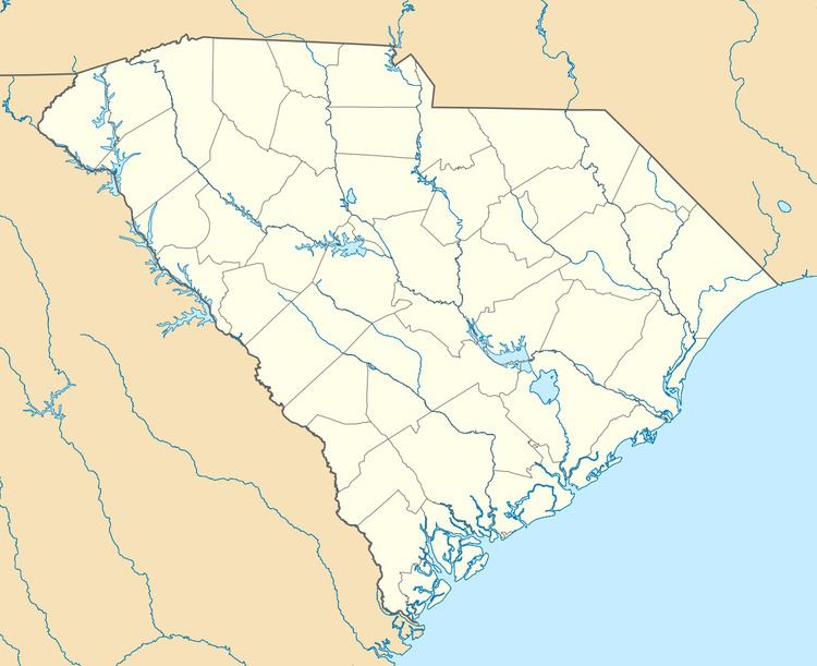
Jacksonboro is an unincorporated community and census-designated place located in southeastern Colleton County, South Carolina, United States, along the west side of the Edisto River. Jacksonboro serves as a primary junction along U.S. Highway 17 between Charleston 32 miles (51 km) to the east and Beaufort 41 miles (66 km) to the southwest. Walterboro, the Colleton County seat, is 16 miles (26 km) to the northwest via South Carolina Highway 64. The population of Jacksonboro was 478 as of the 2010 census.
Map of Jacksonboro, SC 29474, USA
Jacksonboro was founded in the 1730s, and named after John Jackson, the original owner of the town site. The Pon Pon Chapel was listed in the National Register of Historic Places in 1972.
References
Jacksonboro, South Carolina Wikipedia(Text) CC BY-SA