
Length 31 km Mouth Conasauga River | Source Cohutta Wilderness | |
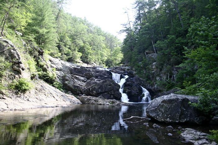 | ||
The Jacks River or Jack's Fork (of the Conasauga River) is a 19.4-mile-long (31.2 km) river in the Cohutta Wilderness Area of northwest Georgia, United States.
Contents
Map of Jacks River, Georgia, USA
Jacks river falls summer 2016 part 1
Recreation
The Jacks River flows into the Conasauga River before the latter crosses over 411 Highway. The Jacks River is accessible by US National Forest Service Roads. The immediate area around Jacks River Falls was closed to camping in March 2003 due to overuse. Other areas along the Jacks River are still open to camping, but there are now restrictions on the number of people allowed to camp per site, the distance between campsites, and others.
References
Jacks River Wikipedia(Text) CC BY-SA