
 | ||
Jackass flats live 8 22 14 camp barefoot
Jackass Flats is a shallow alluvial basin located in the southwest portion of the Nevada National Security Site in Nye County, Nevada. The area lies east of Yucca Mountain, south of the Calico Hills and Shoshone Mountain and northwest of Skull Mountain. The valley drains to the southwest via the Tonopah and Fortymile washes into the Amargosa Valley across US Route 95 at Amargosa Valley. The "flat" covers an area of approximately 120 square miles (310 km2) and ranges in elevation from about 2,800 ft (850 m) just north of US 95 to 4,000 ft (1,200 m) at the mountain bases to the north and east.
Contents
It is located mostly within Area 25 and extends into Area 14 and Area 26.
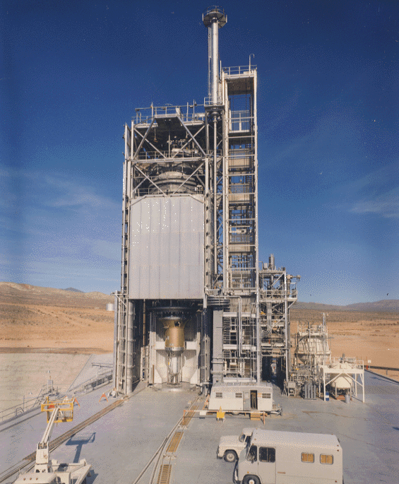
It was the test site of nuclear-powered rocket engines during project Project Rover and NERVA.