
Basin size 59.85 sq mi (155.0 km) Basin area 155 km² | River system Jacaguas River Length 40 km | |
 | ||
Main source Villalba2,099 feet (640 m) River mouth Caribbean Sea0 feet (0 m) Tributaries Left:Quebrada JaguayesQuebrada ChorreraRight:Quebrada Guanabana | ||
Jacaguas River (Spanish: Río Jacaguas) is a river shared between the municipalities of Ponce and Juana Diaz. It flows from north to south, draining into the Caribbean Sea east of the city of Ponce. One of the 14 rivers in the municipality of Ponce, it is also the longest, at 39.72 kilometers (24.68 mi). The river has a discharge of 37,000 ft3/second, making it the most affluent river in Ponce as well.
Contents
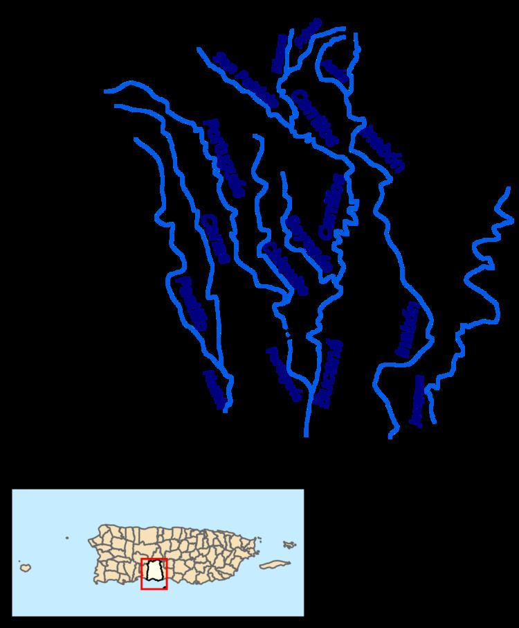
Map of R%C3%ADo Jacaguas, Puerto Rico
Origin and course
Jacaguas has its origin in the municipality of Villalba, Puerto Rico, in the boundary between barrio Vacas and barrio Hato Puerco Arriba, at an altitude of approximately 2,099 feet (640 m) above sea level. It crosses the municipalities of Villalba and Juana Díaz, forming the Guayabal Lake, before approaching the municipality of Ponce where it becomes the boundary between Ponce and Juana Diaz. From there it empties into the Caribbean Sea.