
Area 89.81 km² Local time Friday 10:39 PM | Elevation 193 m (633 ft) Population 1,884 (2002) Area code 019 | |
 | ||
Weather 4°C, Wind W at 3 km/h, 51% Humidity | ||
Jabukovac (Serbian: Јабуковац, Romanian: Icubovăț, derived from Jabuka - apple) is a village in Serbia. It is located in the municipality of Negotin, in the Bor District, near the borders between Serbia, Romania and Bulgaria.
Contents
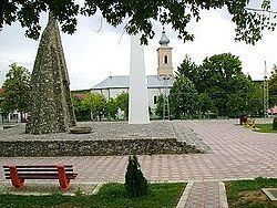
Map of Jabukovac, Serbia
History
It is first mentioned in the 16th century in Turkish texts, it had 10 houses in 1530, 17 in 1586. In the 18th century it is found on Austrian maps with the name Jabukonjiz, it had 34 houses in 1736, 390 in 1846, 578 in 1866.
From 1929 to 1941, Jabukovac was part of the Morava Banovina of the Kingdom of Yugoslavia.
Population
According to the 2002 census, its population numbered 1,884.
References
Jabukovac, Negotin Wikipedia(Text) CC BY-SA