
Microregion Jaboticabal Elevation 605 m | Mesoregion Ribeirão Preto Time zone BRT/BRST (UTC-3/-2) Local time Friday 6:33 PM | |
 | ||
Weather 28°C, Wind SW at 5 km/h, 55% Humidity | ||
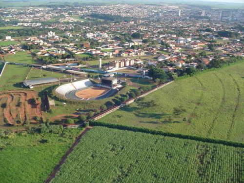
Jaboticabal is a municipality in the state of São Paulo in Brazil. The population is 75,820 (2015 est.) in an area of 707 km². The town takes its name from the jabuticaba tree.
Contents
Map of Jaboticabal, State of S%C3%A3o Paulo, Brazil
Jaboticabal is home to the UNESP university campus, and is also the city that most produces peanuts in Brazil. Around the city are extensive sugar cane plantations and industries making Jaboticabal one of the most important cities in agrobusiness around its region.
Economy
The municipality is located in one of the richest regions in São Paulo State, SE Brasil, responsible for approximately 8.5% of its Gross Domestic Product (GDP).
References
Jaboticabal Wikipedia(Text) CC BY-SA