
 | ||
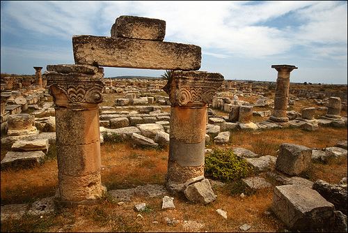
Jabal al Akhdar (Arabic: الجبل الأخضر al-Jabal al-Akhḍar, English: Green Mountains), also known as Jebel el-Akhdar, is one of the districts of Libya. It lies in the north east of the country. The capital is Bayda. In its territory, close to the city of Shahhat, can be found the remains of the old Greek colony of Cyrene, and the neighbouring city of Apollonia, a major port in the Mediterranean Sea in antiquity. On land, it borders Derna in east, Al Wahat in south and Marj in west.
Contents
Map of Jebel Akhdar, Oman
Per the census of 2012, the total population in the region was 157,747 with 150,353 Libyans. The average size of the household in the country was 6.9, while the average household size of non-Libyans being 3.7. There were totally 22,713 households in the district, with 20,907 Libyan ones. The population density of the district was 1.86 persons per sq. km. Per 2006 census, there were totally 70,321 economically active people in the district.
Demographics
Per the census of 2012, the total population in the region was 157,747 with 150,353 Libyans. The average size of the household in the country was 6.9, while the average household size of non-Libyans being 3.7. There were totally 22,713 households in the district, with 20,907 Libyan ones. The population density of the district was 1.86 persons per sq. km. Per 2006 census, there were totally 70,321 economically active people in the district. There were 44,972 government employees, 6,436 employers, 26,710 first level workers and 069 second level workers. There were 18,290 workers in state administration, 2,749 in agriculture, animal husbandry and forestry, 3,148 in agriculture & hunting, 22,772 in education, 4,954 in private enterprises, 3,319 in health & social work, 4,465 in production, 22,846 in technical work and 1,341 service workers. The total enrollment in schools was 71,229 and the number of people above secondary stage and less than graduation was 3,628. As per the report from World Health Organization (WHO), there were two communicable disease centres, 7 dental clinics, three general clinics, 0 in-patient clinics, 16 out-patient clinics, 55 pharmacies, 157 PHC centres, one polyclinics, 6 rural clinics and no specialized clinics. Islam is the state and major religion of the country.
Geography
In its southern part is the fertile upland area of Jebel Akhdar. North of this is a dry, sub-desert area between the uplands and the Mediterranean on its northern edge. Libya has mostly a flat undulating plain and occasional plateau, with an average elevation of around 423 m (1,388 ft). Around 91 per cent of the land is covered by desert, with only 8.8 per cent agricultural land (with only 1 % arable lands) and 0.1 per cent of forests. The major resources are petroleum, gypsum and natural gas. Along the coastal regions, the climate is Mediterranean in coastal areas, while it is desert climate in all other parts. Dust storms lasting four to eight days is pretty common during Spring. Triplotania is the northwest region, while it is Cyrenacia in the east and Fezzen in southwest. Cyrenacia is the largest region in Libya, which is mostly semi arid in nature. The region receives an annual rainfall of 5 in (130 mm). There are no perennial rivers in the region, but the region is abundant with groundwater aquifers.
Administration
Libya became independent in 1951 from the colonial empire and generally known for its oil rich resources. All the powers rested centrally with the President Gaddafi for 42 years till the 2011 armed rebellion which topple him. As per the constitution, Libya is the most decentralized Arab nation, but practically all powers are vested on central government on account of control over the oil revenues. Local governmental institutions manage the administration of education, industry, and communities. As a part of decentralization in 2012, the country is administratively split into 13 regions from the original 25 municipalities, which were further divided in 1,500 communes. Since 2015, the chief of the state is a Chairman of Presidential Council, while the Prime Minister is the head of the state. The House of Representatives is an elected body that is elected on universal suffrage and popular vote. As of 2016, there were 22 administrative divisions in the country in the form of districts.