
Time zone SLST (UTC+5:30) Postal code 11350 Area code 011 | Website www.jaela.ds.gov.lk Local time Saturday 1:31 AM | |
 | ||
Weather 26°C, Wind SE at 3 km/h, 90% Humidity | ||
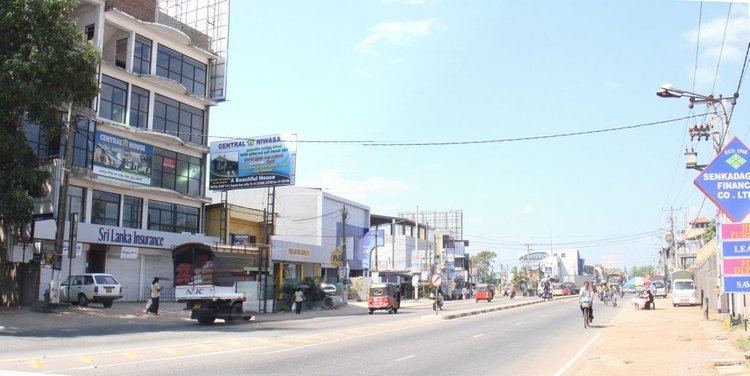
Ja-Ela is a suburb of Colombo, located approximately 20 km (12 mi) north of the Colombo city centre. Ja-Ela lies on the A3 road which overlaps with the E03 Colombo – Katunayake Expressway at the Ja-Ela Junction.
Contents
- Map of Ja Ela Sri Lanka
- Local Government Council
- Economy
- Shopping malls
- Movie theatres
- Transport
- Buses
- Schools
- References
Map of Ja-Ela, Sri Lanka
Local Government Council
Ja-Ela is admistered by the Ja-Ela Urban Council.
Economy
The economy in Ja-Ela consists of commercial enterprises, office and industrial employment.
Shopping malls
Movie theatres
Transport
This suburb is situated on the main road A3 , between Colombo municipality and Negombo municipality. There is also a railway station in Ja-Ela on the Puttalam railway line via Negombo. Ja-Ela is situated very close to the Bandaranaike International Airport.There is also a bus stand in Ja-Ela which provides access to Colombo, Negombo, Gampaha, etc. The traffic issues at Ja-Ela have been reduced after the introduction of the E03 Colombo – Katunayake Expressway, which serves an interchange at Ja-Ela.