
Original author(s) | Development status Active | |
 | ||
Developer(s) Dirk Stöcker and other contributors Initial release January 22, 2006; 11 years ago (2006-01-22) Stable release 11223 (16.10) / November 6, 2016; 3 months ago (2016-11-06) Repository josm.openstreetmap.de/svn/trunk | ||
JOSM ( listen ) (Java OpenStreetMap Editor) is a free software desktop editing tool for OpenStreetMap geodata created in Java. It has a lot of advanced features, but also more complicated user interface than default online editor iD.
Contents
Features
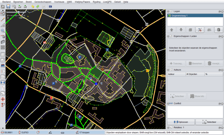
Some notable features of JOSM are importing GPX files (GPS tracks), working with aerial imagery (including WMS, TMS and WMTS protocols), support for multiple cartographic projections, layers, relations editing, data validation tools, data filtering, offline work, presets and rendering styles. JOSM provides more than 200 keyboard shortcuts for the core functions.
Many additional features (like tools for drawing buildings, adding Wikipedia links or viewing data in 3D) are available through the plugins. There are more than 100 of them in the repository.
History
First changeset was created on 27 September 2005. First beta version (which required Java 5) was made available on 4 October 2005 and JOSM 1.0 has been released on 22 January 2006. Current versioning scheme, using code changeset number, was introduced in 2008.
In 2014 project logo has been replaced with the new artwork, which won a design contest. From this year stable releases are identified with additional YY.MM internal version number (following r6763 - 14.01), however they may not exactly reflect the release date.
Since revision 10786 (16.07) released on 12 August 2016 support for Java versions earlier than 8 has been dropped.
Usage
The highest number of edits in OSM is done using JOSM. The software was used to perform several large scale OSM imports, including TIGER data in the United States.
JOSM can also be used for editing an OSM sister project OpenHistoricalMap. It's included as a package in many Linux distributions like Ubuntu and the OSGEO Live DVD
Various tutorials are available. The LearnOSM Tutorial, translated in 16 languages, has a section on JOSM. It covers the editing process, the tools, the plugins, the presets, the imagery functionalities, conflict resolution and other features.