
Time zone CET (UTC+1) Area 60.34 km² Local time Thursday 6:49 AM | County Bács-Kiskun Postal code 6133 Population 2,632 (2002) Area code 77 | |
 | ||
Weather 2°C, Wind W at 5 km/h, 83% Humidity | ||
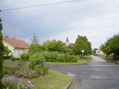
Jászszentlászló is a village in Bács-Kiskun county, in the Southern Great Plain region of southern Hungary. It lies just south of Kiskunfélegyháza and just north of Kiskunmajsa. The town is a stop on the railroad line between Kecskemét and Baja.
Contents
Map of J%C3%A1szszentl%C3%A1szl%C3%B3, 6133 Hungary
Geography
It covers an area of 60.34 km2 (23 sq mi) and has a population of 2632 people (2002).
Economy
There are several agricultural enterprises. Some pumpjacks still raise crude oil from the ground.
References
Jászszentlászló Wikipedia(Text) CC BY-SA