Area 514.1 km² Local time Friday 5:55 AM | Founded 17 October 1560 | |
 | ||
Weather 15°C, Wind NE at 11 km/h, 60% Humidity | ||
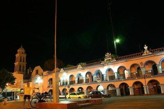
Izúcar de Matamoros is a city in Izúcar de Matamoros Municipality located in the southwestern part of the Mexican state of Puebla. The city serves as the municipal seat of the municipality. At the census of 2005 the city had a population of 41,042 inhabitants, while the municipality had a population of 69,413. The municipality has an area of 514.11 km² (198.5 sq mi), and stands at 1100 m above sea level. Its largest other communities are the towns of La Galarza and San Juan Raboso. It has many sights like the portales, and Santo Domingo, the biggest church in the city.
Contents
Map of Iz%C3%BAcar de Matamoros, Puebla, Mexico
History
Izúcar de Matamoros was the site of the Mexican American War Skirmish at Matamoros on November 23, 1847.
Agriculture
The agriculture of the surrounding countryside is devoted to growing sugar cane which is processed at a plant in Atencingo.
