
Area 114.3 km² | ||
 | ||
Weather 13°C, Wind W at 0 km/h, 88% Humidity | ||
Primer informe ixtaczoquitl n 01 acerca de ixtac
Ixtaczoquitlán is a city in the Mexican state of Veracruz. It is 2 kilometres (1.2 mi) from Orizaba. It is close to the Fortín–Orizaba railroad and stands on Federal Highways 180 & 190. It serves as the municipal seat for the surrounding municipality of the same name.
Contents
- Primer informe ixtaczoquitl n 01 acerca de ixtac
- Primer informe ixtaczoquitl n 02 introducci n
- Climate
- Fauna
- Flora
- History
- Legend
- References
It is in the Orizaba-Córdoba region and is contiguous with these two as well as with the municipality of Fortín.
Primer informe ixtaczoquitl n 02 introducci n
Climate
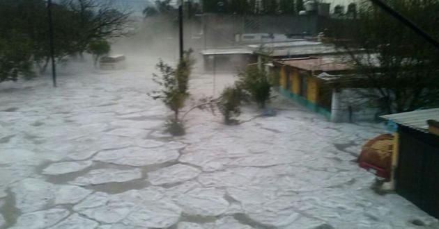
Ixtaczoquitlán has a temperate climate and temperatures between 10°C and 32°C. Like the city of Orizaba, it has rains to half of the month, like strong heats to half of month being the two compatible ones.
Fauna
It has a regular fauna, or serpents like the colarillos, bugs, small lizards like the knob or tarántulas, among others like the black widow, cats, roosters, horses, cows, dogs, etc.
Flora
Its vegetation is regular or high, has chayote, orange, maize, papaya, cafe, moor etc.
History
The Battle of Escamela was fought in Ixtaczoquitlán during the War of Mexican Independence in 1812. Mexican rebels under Jose Maria Morelos fought against Spanish loyalist forces as part of a broader plan to take control of Orizaba and cut off communications between Mexico City and the major port of Veracruz.
Legend
It narrates the legend that in the center of Ixtaczoquitlan have been nahuales wizards, who in the epoch of the Spaniards, could turn themselves into animals and shades, leaving everyone afraid. Nobody wanted to be outside during nights because of the nahuales, and the people hid the children for fear that the Nahuales could eat them.