Area 39.5 km² | ||
 | ||
Video eiaa ixhuatlancillo
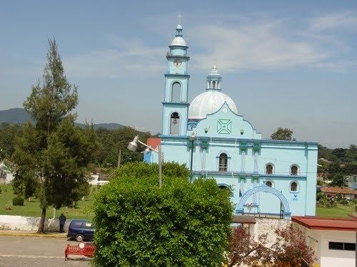
Ixhuatlancillo is in the central zone of the state of Veracruz, Mexico, about 165 km from state capital Xalapa. It has a surface of 39.48 km2 and is located at 18°54′N 97°09′W.
Contents
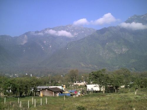
The municipality of Ixhuatlancillo is delimited to the north by La Perla, to the east by Mariano Escobedo, to the south by Orizaba, Río Blanco and Nogales and to the west by Maltrata.
It produces principally maize, coffee and sugarcane.
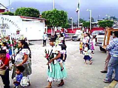
On February 2, each year, there is a celebration in honor of Virgen de la Candelaria, patron of the town.

The weather in Ixhuatlancillo is cold all year with rains in summer and autumn.
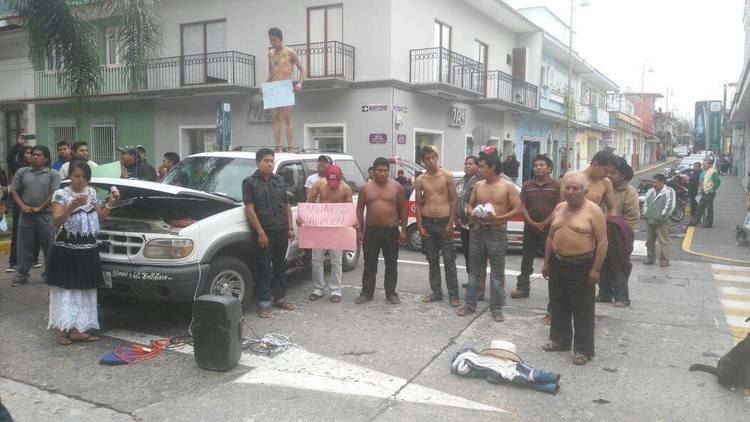
Pobladores de ixhuatlancillo atan a polic as
References
Ixhuatlancillo Wikipedia(Text) CC BY-SA
