
Area 705.2 km² | Time zone BRT/BRST (UTC-3/-2) Local time Thursday 11:42 PM | |
 | ||
Weather 23°C, Wind E at 5 km/h, 70% Humidity | ||
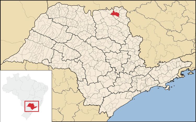
Ituverava is a city located in the São Paulo state, in Brazil. The population is 40,994 (2015 est.) in an area of 705 km².
Contents
Map of Ituverava, State of S%C3%A3o Paulo, Brazil
Geography
It is located in the north region of São Paulo state, with an altitude of 605 meters.
Economy
The economy is predominantly agricultural, based on the cultivation of soybeans, corn, cotton and sugar cane. It has a strong trade and advanced service sector.
History
The town was founded in the beginning of the 19th century, and grew around a chapel dedicated to Our Lady of Mount Carmel (Nossa Senhora do Carmo). In 1847 it became a district of the municipality Franca, under the name Carmo de Franca. It became an independent municipality in 1885. In 1899 the name was changed to Ituverava, which is Tupi–Guarani for "shining waterfall".
References
Ituverava Wikipedia(Text) CC BY-SA