
Area 12.2 km² Arrondissement Étampes | Region Île-de-France Canton La Ferté-Alais Population (2006) 6,386 Local time Friday 3:23 AM | |
 | ||
Weather 8°C, Wind NW at 10 km/h, 95% Humidity | ||
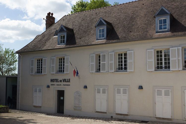
Itteville is a commune in the Essonne department in Île-de-France in northern France.
Contents
Map of 91760 Itteville, France
Inhabitants of Itteville are known as Ittevillois. Itteville's twin town has been Newick in the United Kingdom since 1988. The distance between both town is 320 kilometres (199 miles).
Origin of the town name
The original name of the commune comes from the Latin Ittae Villa meaning "Itte farm" referring to Itta of Nivelles, spouse of Pépin de Landen who built a farm. The commune was created in 1793 under the name of Itterville. The current orthography was introduced in 1801 in the law bulletin.
Geographical situation
The Juine forms the commune's northwestern and northern borders, then flows into the Essonne, which forms the commune's eastern border. Itteville is 38 kilometres (24 miles) south of Paris Notre Dame, point zero on French roads, 15 kilometres (9 miles) south west of Évry, 16 kilometres (10 miles) north east of Étampes, 3 kilometres (2 miles) north of La Ferté-Alais, 11 kilometres (7 miles) south east of Arpajon, 15 kilometres (9 miles) south east of Montlhéry, 15 kilometres (9 miles) south west of Corbeil-Essonnes, 16 kilometres (10 miles) north west of Milly-la-Forêt, 23 kilometres (14 miles) south east of Palaiseau and 24 kilometres (15 miles) east of Dourdan