
Area 4,231 km² | Time zone BRT (UTC−4) Local time Thursday 8:44 PM | |
 | ||
Weather 26°C, Wind E at 5 km/h, 92% Humidity | ||
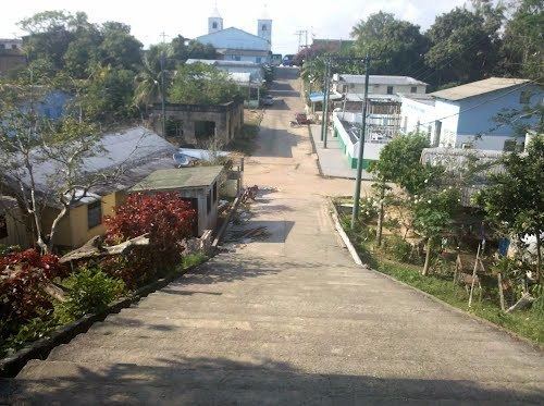
Itapiranga is a municipality located in the state of Amazonas northern Brazil on the left bank of the Solimões River about 200 km east of Manaus. Its population was 8,625 (2005) and its area is 4,231 km².
Contents
Map of Itapiranga - State of Amazonas, Brazil
The name is of Indian origin, and was given to a quarry which has a port. It comes from ita, stone and pitanga, red, so the name means "red stone".
The municipality contains about 40% of the 424,430 hectares (1,048,800 acres) Uatumã Sustainable Development Reserve, which protects the lower part of the Uatumã River basin.
References
Itapiranga, Amazonas Wikipedia(Text) CC BY-SA