
Time zone UTC -3 Population 11,850 (2010) | Mesoregion Vale do Rio Doce Area 488.2 km² Local time Thursday 9:34 PM | |
 | ||
Weather 25°C, Wind E at 13 km/h, 65% Humidity | ||
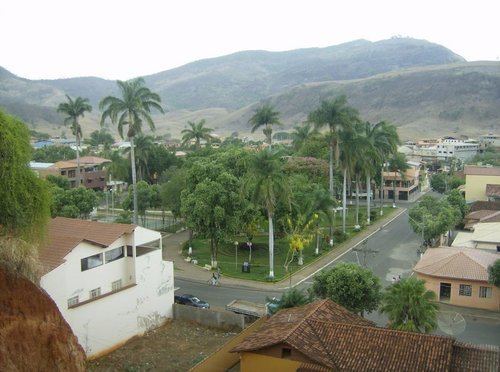
Itanhomi is a municipality in the state of Minas Gerais in the Southeast region of Brazil.
Contents
Map of Itanhomi - State of Minas Gerais, Brazil
History
Legend spoke about the existence of an Indian chief named Queiroga. Queiroga is actually a native plant that existed on the banks of Ribeirão forest, currently Ribeirão Queiroga, from which the name is derived. There were nomadic Indians, the Botocudos (a subdivision of the Aimorés Tribe), in this region.
References
Itanhomi Wikipedia(Text) CC BY-SA