
Country United States ZIP codes 41149 Elevation 216 m | Time zone Eastern (EST) (UTC-5) GNIS feature ID 495056 Local time Thursday 5:36 AM | |
 | ||
Weather -6°C, Wind W at 5 km/h, 63% Humidity | ||
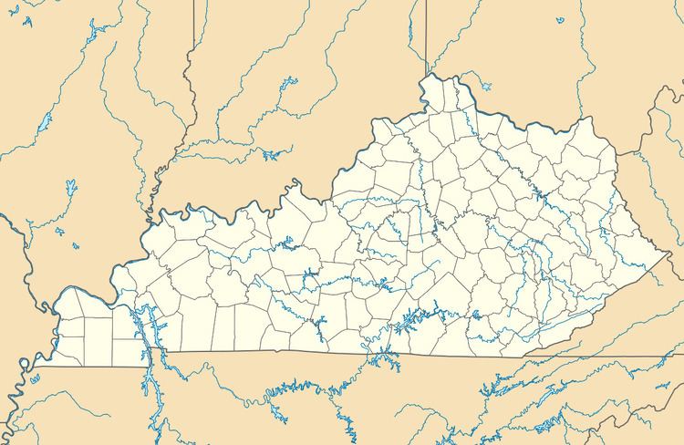
Isonville is an unincorporated community in Elliott County, Kentucky, United States. It lies along Routes 32 and 486 east of the city of Sandy Hook, the county seat of Elliott County. Its elevation is 709 feet (216 m). Although it is unincorporated, it has a post office, with the ZIP code of 41149.
Map of Isonville, KY 41171, USA
A post office was established in the community in 1866 and named for Archibald Ison, an early settler from Virginia.
References
Isonville, Kentucky Wikipedia(Text) CC BY-SA