
Province British Columbia | ||
 | ||
Malahat is an unincorporated area in the Cowichan Valley, with municipal-type services delivered by the Cowichan Valley Regional District (Area A). What could be considered the hub of the community is a small collection of business that includes the Malahat Gas station (which also serves as the Malahat Post Office) and the Malahat Mountain Inn and Restaurant.
Map of Malahat, BC, Canada
A steep and rugged terrain has in the past precluded any significant residential development but new subdivisions are being built around the northern end of the area around the old Bamberton cement works and in the area adjoining Elkington Forest. Most area residents live in isolated homes located off the highway. In this context "Malahat" primarily refers to the Canada Post delivery district.
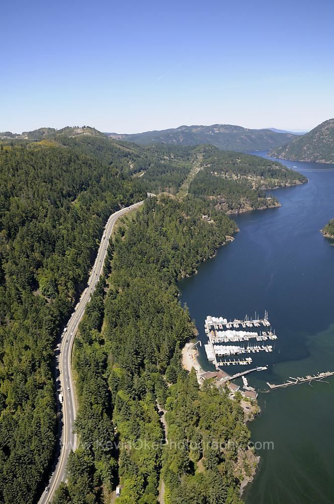
Malahat is mostly known for the portion of British Columbia Highway 1 that traverses the community, locally known as 'The Malahat', 'Malahat Drive' or just 'The 'Hat', which consists of a mainly 3-lane cross section (two-lane up hill and one-lane down hill). The highway through the narrow Goldstream Park canyon section is 2 lanes. This section of highway has been in the news on a regular basis due to a number of fatal traffic accidents - caused largely by vehicles crossing the centre line. As a result of these crashes the Ministry of Transportation has begun a program to add centre concrete medians to separate north and southbound traffic. Now the Shawnigan Lake to Summit median has been added (complete late 2014), 50% of the Malahat highway is now divided with a concrete median.