
Mountain type Volcanic field Last eruption 1800 Parent range Boundary Ranges | Elevation 1,880 m Province British Columbia | |
 | ||
Location British Columbia, Canada Age of rock Pleistocene-to-Holocene Volcanic arc/belt Northern Cordilleran Volcanic Province Mountain range Coast Mountains, Boundary Ranges Similar Bridge River Cones, Crow Lagoon, Hoodoo Mountain, Heart Peaks, Tseax Cone | ||
The Iskut-Unuk River Cones are a group of eight small basaltic centres at the southern end of the Northern Cordilleran Volcanic Province in the Boundary Ranges of the Coast Mountains, in western North America. The lava flows date back 70,000 years, but the subaerial vents produced cinder cones and lava flows that were probably all active between about 9,000 and a few hundred years ago. The last lava flows were erupted from The Volcano about 150 years ago. Iskut Canyon Cone produced at least 10 thick lava flows which initially dammed the Iskut River.
Contents
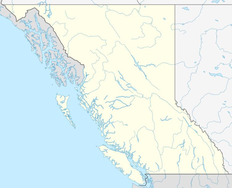
Map of Iskut-Unuk River Cones, Kitimat-Stikine A, BC, Canada
Volcanoes
The name of these in the Tlingit language is Seikhulé, referring to the mountains not being flooded during Aangalakhú (the Great Flood) and they were one of the high peaks used as a refuge during that time.