
District Ashoknagar Vehicle registration MP Population 10,347 (2001) ISO 3166 code ISO 3166-2:IN | Time zone IST (UTC+5:30) Elevation 489 m Local time Thursday 3:36 AM | |
 | ||
Weather 18°C, Wind E at 5 km/h, 40% Humidity | ||
Isagarh, also known as Issagarh, is a town in Ashoknagar District of Madhya Pradesh state in central India. It is the administrative headquarters of Isagarh tehsil.
Contents
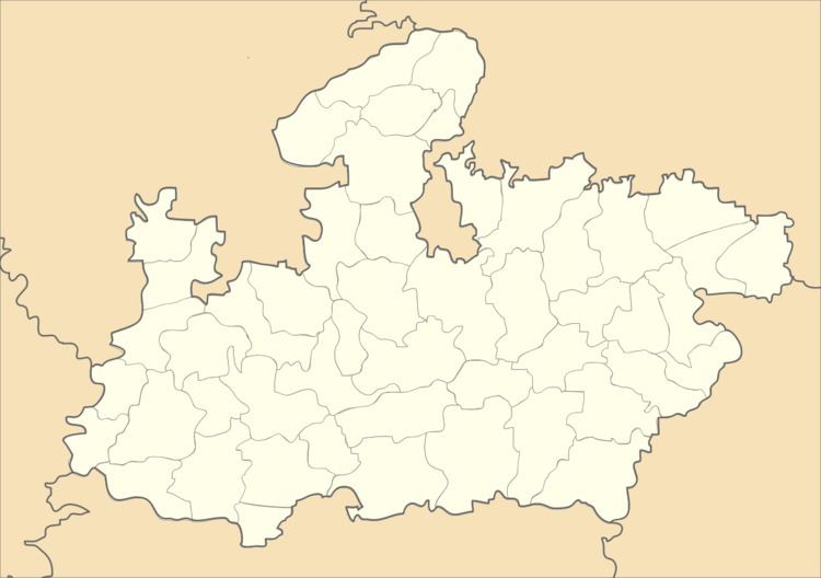
Map of Isagarh, Madhya Pradesh 473335
History
Before Indian independence in 1947, Isagarh was part of the princely state of Gwalior, where it was the administrative headquarters of Isagarh District. After Indian independence, Gwalior state became part of the new Indian state of Madhya Bharat, and Isagarh District was renamed Guna District. Madhya Bharat was merged into Madhya Pradesh on November 1, 1956. Guna District was split into the districts of Guna and Ashoknagar on August 15, 2003.
Geography
Isagarh is located at 24.83°N 77.88°E / 24.83; 77.88. It has an average elevation of 489 metres (1604 feet).
Demographics
As of 2001 India census, Isagarh had a population of 35,347. Males constitute 53% of the population and females 47%. Isagarh has an average literacy rate of 62%, higher than the national average of 59.5%: male literacy is 72%, and female literacy is 50%. In Isagarh, 18% of the population is under 6 years of age.