Country United States Counties Barton FIPS code 29-35486 Elevation 297 m Zip code 64759 Area code 417 | Time zone Central (CST) (UTC-6) GNIS feature ID 0720173 Population 69 (2010) Local time Wednesday 2:46 PM | |
 | ||
Weather 1°C, Wind SE at 11 km/h, 50% Humidity Area 78 ha (75 ha Land / 2 ha Water) | ||
Irwin is an unincorporated community and census-designated place in northern Barton County, Missouri, United States. As of the 2010 census it had a population of 69.
Contents
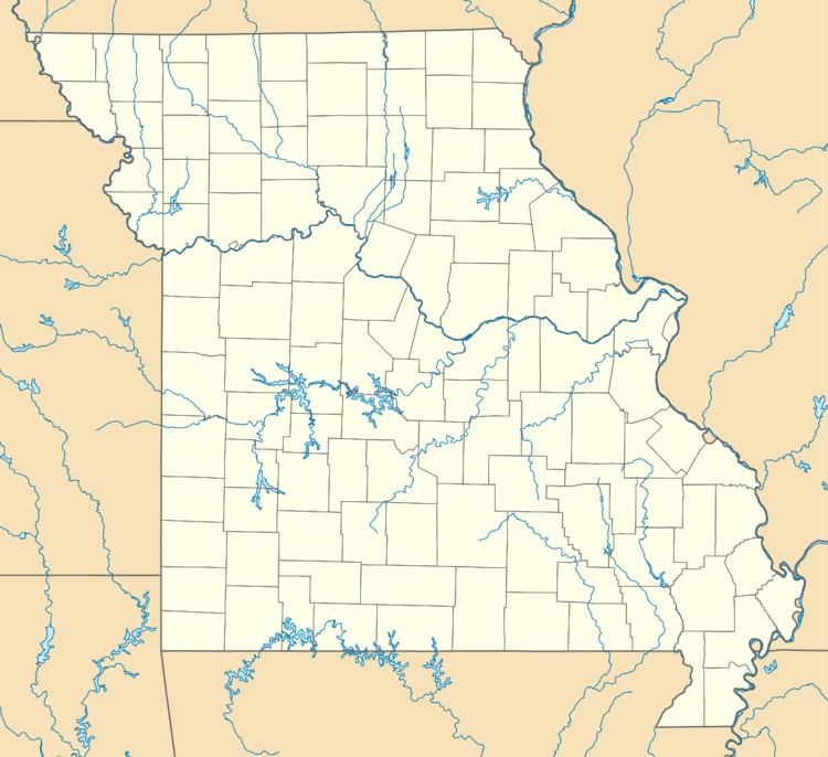
Map of Irwin, MO 64759, USA
History
Irwin was platted in 1884. The community has the name of the Irwin family of settlers. A post office called Irwin was established in 1884, and remained in operation until 1981.
Geography
Irwin is located at 37°35′19″N 94°17′7″W, halfway between Lamar and Sheldon on U.S. Route 71 (Interstate 49). Mail is from Lamar.
According to the United States Census Bureau, the CDP has a total area of 0.30 square miles (0.78 km2), of which 0.0077 square miles (0.02 km2), or 2.00%, is water.
References
Irwin, Missouri Wikipedia(Text) CC BY-SA
