
Country United States Counties Union GNIS feature ID 1064891 Zip code 43029 Area code 614 | State Ohio Time zone Eastern (EST) (UTC-5) Elevation 308 m Local time Wednesday 3:47 PM | |
 | ||
Weather -1°C, Wind NW at 31 km/h, 47% Humidity | ||
Aaron boerger on cash explosion irwin ohio
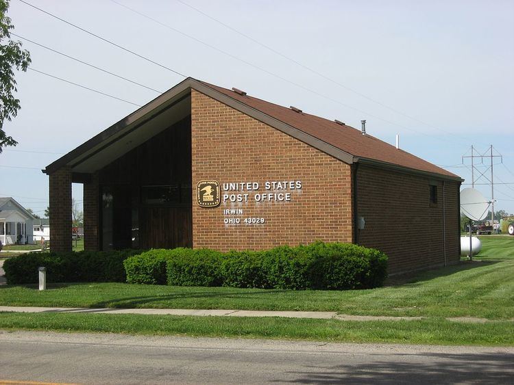
Irwin is an unincorporated community in southwestern Union Township, Union County, Ohio, United States. It is located at 40°07′21″N 83°29′22″W, at the intersection of Ohio State Route 4 and 161. Although it is unincorporated, Irwin has a post office which serves the surrounding area, including the community of Rosedale.
Contents
Map of Irwin, OH, USA
History
A post office has been in operation at Irwin since 15 May 1858. The community was named for one Mr. Irwin, a pioneer settler.
Located near Irwin is Elmwood Place, a historic farm that is listed on the National Register of Historic Places.
References
Irwin, Ohio Wikipedia(Text) CC BY-SA