
OS grid reference SD791200 Post town Bury Dialling code 01706 | Sovereign state United Kingdom Postcode district BL0 District Rossendale | |
 | ||
Lner a3 60103 4472 flying scotsman east lancashire railway irwell vale station
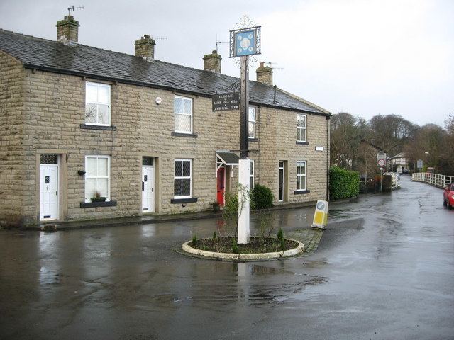
Irwell Vale is a village within the Rossendale borough of Lancashire, in North West England. which lies at the confluence of the River Ogden and River Irwell.
Contents
- Lner a3 60103 4472 flying scotsman east lancashire railway irwell vale station
- Map of Irwell Vale Bury UK
- D1501 33109 irwell vale 04 03 12
- References
Map of Irwell Vale, Bury, UK
The village is bounded to the south by Holcombe Brook, Summerseat, Edenfield, Ramsbottom, Stubbins and Turn Village; to the west by Holcombe and to the north Haslingden and Rawtenstall. There is a railway station at Irwell Vale on the East Lancashire Railway that is open to the public on weekends, public holidays and services stop Wednesday, Thursday & Friday during spring and summer. This preserved heritage railway runs diesel and steam services through the year with main stopping points at Rawtenstall, Ramsbottom, Bury and Heywood. Irwell Vale railway station is between Ramsbottom and Rawtenstall.