
Country United States Elevation 302 m Local time Wednesday 2:32 PM | GNIS feature ID 0472788 Area 137.3 km² Population 311 (2000) | |
 | ||
Weather 1°C, Wind S at 21 km/h, 52% Humidity | ||
Irving Township is a township in Brown County, Kansas, USA. As of the 2000 census, its population was 311.
Contents
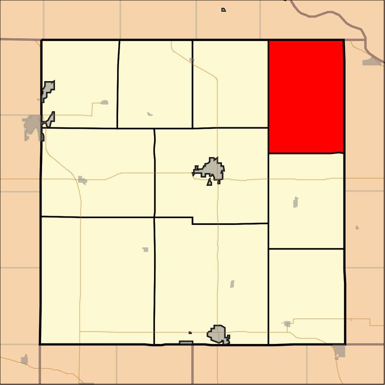
Map of Irving, KS, USA
The first white settlement at Irving Township was made in 1855.
Geography
Irving Township covers an area of 53.01 square miles (137.3 km2) and contains no incorporated settlements. According to the USGS, it contains three cemeteries: Kenyon, Partlow and Tesson.
The stream of Lost Shirt Creek runs through this township.
References
Irving Township, Brown County, Kansas Wikipedia(Text) CC BY-SA