
 | ||
Irvine Island is located off the Kimberley coast of Western Australia in the Buccaneer Archipelago. It is about 250 km (160 mi) north-east of Broome, 140 km (87 mi) north of Derby and hosts an unmined deposit of iron ore. Irvine Island has a surface area of 893 hectares (2,207 acres) and is 5 kilometres (3 mi) west of Cockatoo Island.
Contents
- Map of Irvine Island Western Australia Australia
- Geology and mineralisation
- Historical exploration
- References
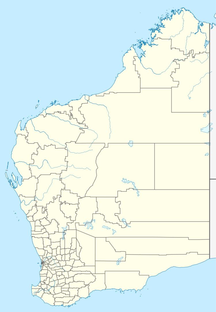
Map of Irvine Island, Western Australia, Australia
Geology and mineralisation
Irvine Island is one of three Islands forming the Kimberley Iron Ore Hub. The other two islands, Koolan and Cockatoo have been in productive mining for over 50 years.
Iron mineralisation at the Hub is much younger than the deposits of the Pilbara and is contained within sedimentary rocks as visible dark brown bands within the otherwise pale brown and generally repetitive sandstones. However, one layer in particular, the Yampi Member, contains very high concentrations of iron and has been the primary focus of exploration and mining activity in the region. This layer outcrops on all three islands of the Hub making it the closest iron ore deposit in Australia to Asia.
The Yampi Member is a ferruginous clastic sedimentary rock and constitutes the upper part of the Pentecost Sandstone. On Irvine, it unconformably overlies the Elgee Siltstone and is characterised primarily by dark grey haematite and magnetite quartz sandstone and quartz pebble conglomerate.
Historical exploration
Australian Iron and Steel, later BHP (now BHP Billiton), explored for iron on Koolan, Cockatoo and Irvine Islands from the early 20th century. Three mineral claims and two mining leases were granted to AIS on Irvine Island in the mid-1930s and early 1950s.