Time zone IST (UTC+5:30) Vehicle registration TN 37,TN 66 Population 18,602 (2001) | Telephone code +91-422 Elevation 343 m Local time Thursday 12:34 AM | |
 | ||
Weather 27°C, Wind E at 11 km/h, 59% Humidity | ||
Irugur is a suburb of Coimbatore city in the state of Tamil Nadu. It is one of the fastest developing suburb in Coimbatore city. It is located near Trichy road, National Highway NH 67.
Contents
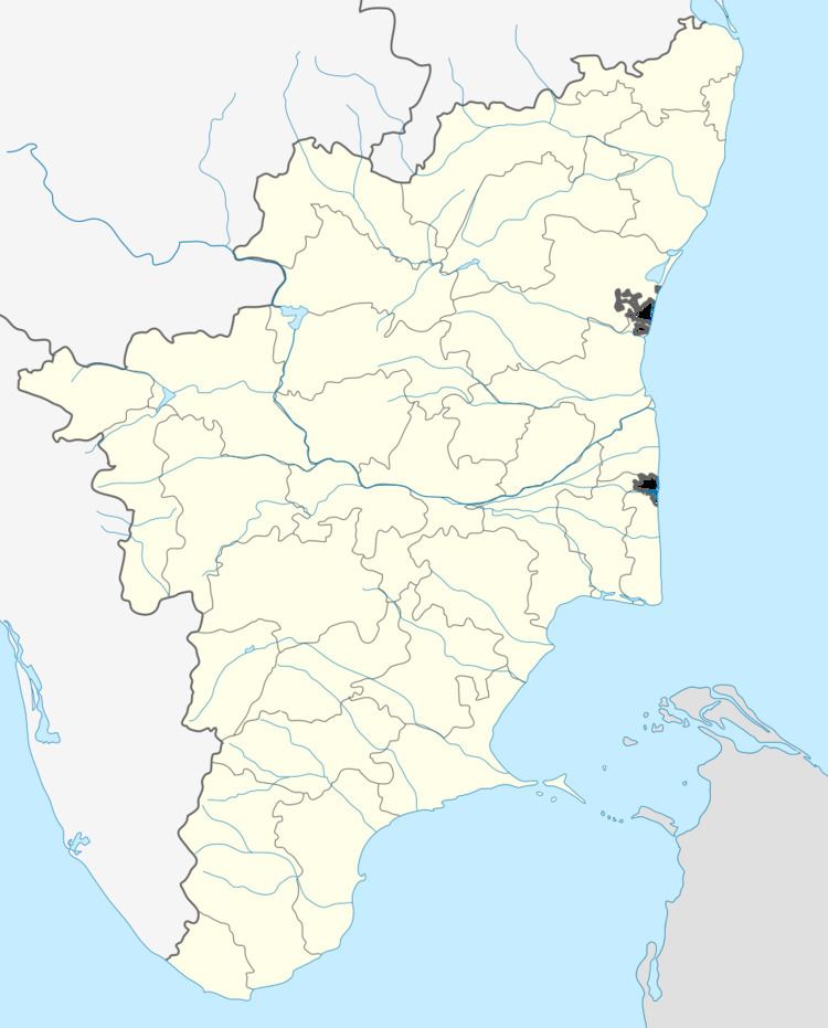
Map of Irugur, Coimbatore, Tamil Nadu
Geography
Irugur is located at 11.02°N 77.07°E / 11.02; 77.07. It has an average elevation of 343 metres (1125 feet).
The name Irugur refers to Iru+Oor, i.e. Iru="two" and "Oor"=place in Tamil. Earlier these were two places separated by the river Noyyal. Coimbatore International Airport is located close to Irugur.
Demographic
The total population in Irugur is 25,691 as per the survey of census during 2011 by Indian Government. There are 7,459 House Holds in Irugur. There are 12,909 males (50%) and 12,782 females(50%).The literacy rate is 78%.
Transport
There is a Irugur Railway Junction where most of Kerala trains are bypassed to Pothanur Junction without entering in to the Coimbatore City. Major Passengers trains and Jan shatabdi train stop in this junction. Now It has a great potential to become Coimbatore East Junction as It near to Major East Coimbatore Suburbs like Sulur, Palladam, Vellalore, Chinniyampalayam etc.,
