
Country United States GNIS feature ID 0453428 Area 95.3 km² Population 1,358 (2010) | ZIP codes 47922, 47948, 47951 Elevation 197 m Local time Wednesday 1:05 PM | |
 | ||
Weather -2°C, Wind NW at 19 km/h, 52% Humidity | ||
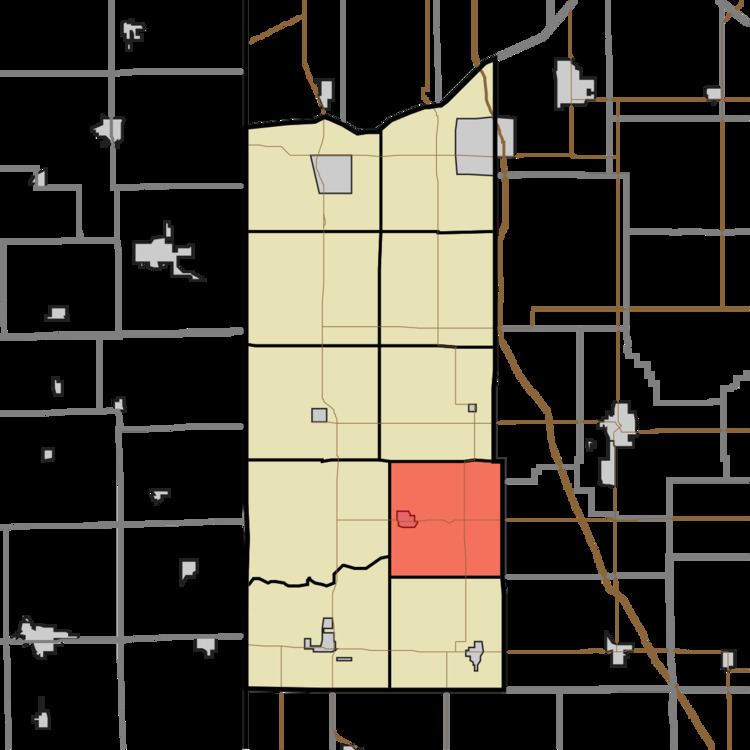
Iroquois Township is one of ten townships in Newton County, Indiana, United States. As of the 2010 census, its population was 1,358 and it contained 553 housing units.
Contents
- Map of Iroquois Township IN USA
- History
- Geography
- Cities towns villages
- Unincorporated towns
- Lakes
- School districts
- Political districts
- References
Map of Iroquois Township, IN, USA
History
The George Ade House was listed on the National Register of Historic Places in 1976.
Geography
According to the 2010 census, the township has a total area of 36.8 square miles (95 km2), of which 36.71 square miles (95.1 km2) (or 99.76%) is land and 0.09 square miles (0.23 km2) (or 0.24%) is water.
Cities, towns, villages
Unincorporated towns
(This list is based on USGS data and may include former settlements.)
Lakes
School districts
Political districts
References
Iroquois Township, Newton County, Indiana Wikipedia(Text) CC BY-SA