 | ||
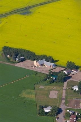
Iron Springs is a hamlet in southern Alberta, Canada within the Lethbridge County. It is located on Highway 25, approximately 28 kilometres (17 mi) northeast of Lethbridge. It was founded in 1925 when the railroad arrived. The community was named after a spring of the same name near the original town site.
Contents
Map of Iron Springs, AB, Canada
Demographics
As a designated place in the 2016 Census of Population conducted by Statistics Canada, Iron Springs recorded a population of 97 living in 25 of its 26 total private dwellings, a change of 7000430000000000000♠4.3% from its 2011 population of 93. With a land area of 0.26 km2 (0.10 sq mi), it had a population density of 373.1/km2 (966.3/sq mi) in 2016.
As a designated place in the 2011 Census, Iron Springs had a population of 93 living in 24 of its 24 total dwellings, a 29.2% change from its 2006 population of 72. With a land area of 0.52 km2 (0.20 sq mi), it had a population density of 178.8/km2 (463/sq mi) in 2011.
